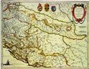
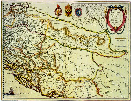
Map of Slavonia, Croatia, Bosnia and Dalmatia
|
Amsterdam Gerard Mercator, Johannes Blaeu 1648 - 1654 Paper, coloured engraving 49.5 x 38 cm Scale: cca 1:700,000 This is the most frequently published map of Croatia during the 17th century. Inaccuracies, which had happened to the great cartographer Mercator, were also regrettably repeated, and they even keep showing up on maps in the 18th century. The author's signature is to be found in the bottom left corner: Per Gerardum Mercatorem/ Cum privilegio. Bought in 1932 from Isidor Steiner in Zagreb. A. Pandzic, Stare karte i atlasi Povijesnog muzeja Hrvatske, Zagreb, 1987, page 72, catalogue number 36 |
|
HPM/PMH-004700 |


 |