Map of Slavonia, Croatia, Istria...
|
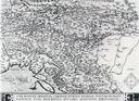
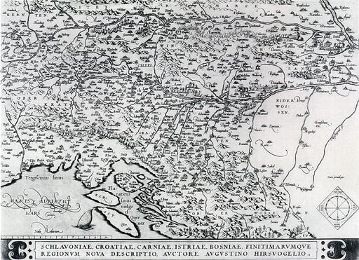
Antwerp Augustin Hirschvogel, Abraham Ortelius 1570 Paper, engraving 46.4 x 33.5 cm Scale: cca 1:700.000 The map encompasses the same area as the map of Illyria by Sambucus. Hirschvogel uses poorer sources -Lazarus and Munster, resulting in an inferior cartographic depiction. Bought from Mirko Breyer in Zagreb in 1904. A. Pandzic, Stare karte i atlasi Povijesnog muzeja Hrvatske, Zagreb, 1987, page 61, catalogue number 5 |
|
HPM/PMH-003823 |


 |